Ridha Sidi Mulyawan
Earth Science and GIS Enthusiast
ArcGIS, QGIS, Python, JavaScript, Google Earth Engine

ArcGIS, QGIS, Python, JavaScript, Google Earth Engine

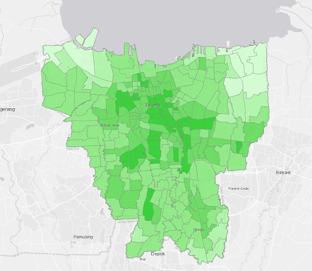
It is rather difficult to choose where the best part of the town to live in or to start your own business. Using available geospatial data from Jakarta Satu, this map shows you which parts of Jakarta have the highest coverage of services and amenities.
Primary parameters for this analysis are the distance from education and healthcare facilities, public transportation coverage (including Commuter Trains, MRT, LRT, and TransJakarta BRT), distance from open green and blue space, and road networks. Average annual temperature from Landsat-8, distance from major rivers to avoid flood risk, and distance from amenities (shopping malls, golf courses, karaoke bars, etc) were also added as complementary parameters.
Tools: ArcGIS, Google Earth Engine, Leaflet
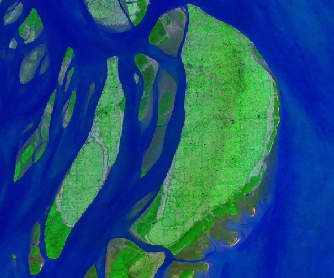
Supervised classification on a Landsat-8 image in ArcGIS to detect active fire hotspot and evaluate fire hazard risk around Palangkaraya during 2015 Fire and Haze Crisis.
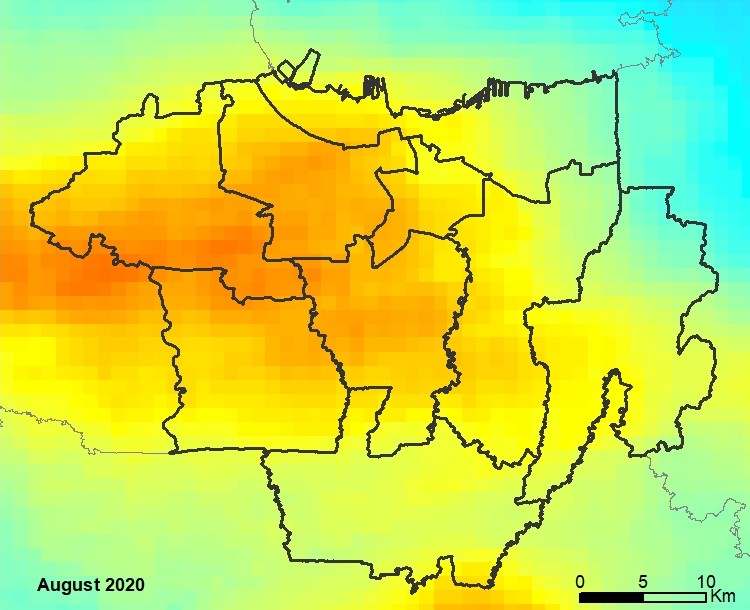
Times-series (monthly year-on-year) analysis of the effect of "Large-scale Social Restrictions" (lockdown) during 2020 COVID-19 Pandemic to NO2 vertical column density using images from Sentinel-5P on GEE (Google Earth Engine)
Using SNAP and ArcGIS to analyze a couple of Sentinel-1 SLC Radar images by using the change/difference in their coherence to evaluate the damage occured around Mataram due to Lombok Earthquake in late July-early August 2018.
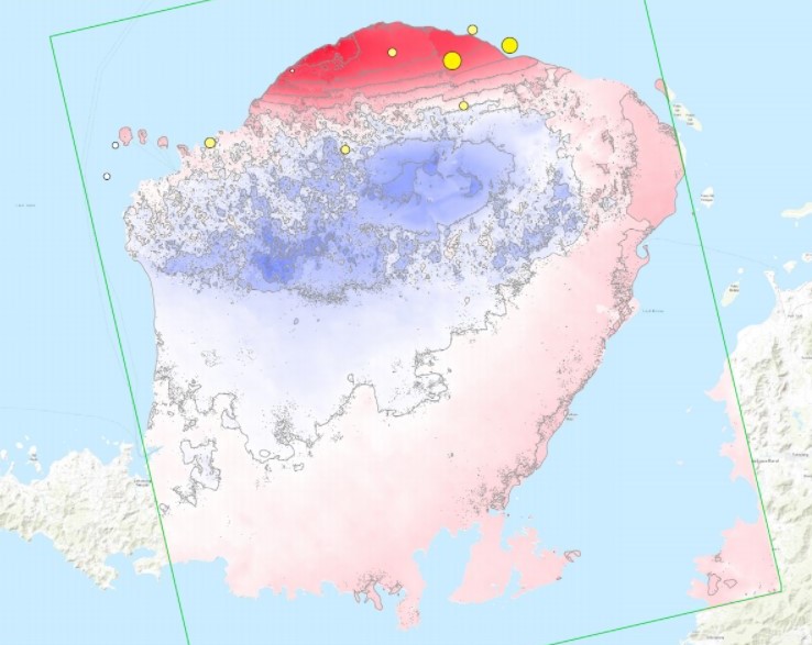
Using SNAP and ArcGIS to analyze the inferometry of a couple of Sentinel-1 SLC Radar images to evaluate ground deformation in Lombok Island due to a series of shallow earthquakes in late July-early August 2018.

Supervised classification on a Landsat-8 image in ArcGIS to detect active fire hotspot and evaluate fire hazard risk around Palangkaraya during 2015 Fire and Haze Crisis.
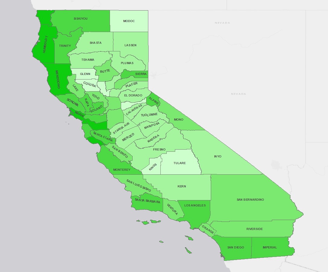
Percentage of people in each county voting for passing the law which legally oblige farmers and producers to label their GMO products in California.
ArcGIS, QGIS, Google Earth Engine, SNAP

Indonesian, English (IELTS: 7.0), French (DELF B2), Spanish (A1)

HTML, CSS, Framework, Javascript, Leaflet, PHP, SQL

Python, R, Matlab, Octave

Earth Science and GIS Enthusiast