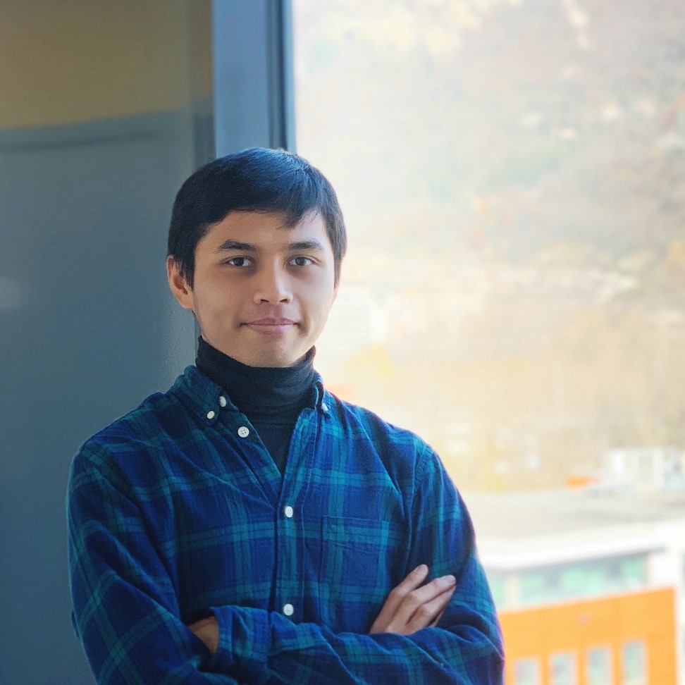
outdoor profile photo

Ridha Sidi Mulyawan

Earth Science and GIS Enthusiast

Download CV

Ridha Sidi Mulyawan

Ridha Sidi Mulyawan is an earth science enthusiast who is currently looking for new opportunities. He has broad experience ranging from geodata (geochemistry, geophysics, lithology, etc) analysis to knowledge dissemination. His background in earth science and his long-live passion in technology provide him the will to keep learning about GIS and its application.

His career started as a Research Assistant in a research center focusing on geothermal. He went to France to continue his study in 2018, but eventually decided to drop out after he realized the program was not focused on geohazard and its mitigation efforts, but only on applied geophysics. After coming back from France, he worked as a site geologist to supervise tunnel boring for irrigation.

He believes using data during a hazard not only would help to streamline post-disaster relief efforts, but also to improve the pre-disaster mitigation efforts to reduce hazard risk in the future. His biggest dream is to be able to work by applying his knowledge on GIS and remote sensing to build a self-sufficient and resilient community.

  • 2020-2021

    Site Geologist

    PT Karya Prima Cipta Utama
    • Produced slope stability map from both ASTER Global DEM and direct slope measurement on project area.
    • Produced geological map on project area using remote sensing and direct measurements of geological features and lithology.
    • Produced a lithological log of cutting from each segment of the tunnel.
  • 2015-2018

    Research Assistant

    Geothermal Research Centre (GRC), Faculty of Engineering, Universitas Gadjah Mada
    • Created slope stability map from ASTER Global DEM and direct slope measurement on the project area.
    • Created alignment map from the ASTER Global DEM and contour map to identify faults and geological structures.
    • Created maps of the lateral distribution of geothermal manifestations based on their bare altered ground features and high temperature in optical satellite imagery (Sentinel-2 and Landsat-8).
    • Analysed wells cutting using X-Ray Diffraction from several geothermal fields in Indonesia.
    • Identified of the permeability in Candradimuka Area, Dieng Geothermal Field, Central Java using remote sensing, direct measurement of geological structures and geothermal features on the field, and re-interpretation of geophysical data (gravity anomaly and magnetotellurics).
    • Facilitated geothermal workshops, meetings, and discussions with local community, local government, and academics within NZAID-CaRED Programme scheme.
    • Created and developed a geothermal-themed website for North Sulawesi: panasbumi.sulutprov.go.id (currently inactive) in cooperation with North Sulawesi Provincial Government in August 2017.
  • 2012-2015

    Other Projects

    • Analysis of Wells Cutting from Several Geothermal Fields in Indonesia.
    • Arrangement of Observation Wells in Semarang-Demak Groundwater Basin, Kudus Groundwater Basin, and Pekalongan-Pemalang Groundwater Basin, Central Java.
    • Geological Mapping of Bruno and Its Surrounding Areas, Purworejo, Central Java.
  • July-August 2013

    Volunteering

    Socio-cultural Empowerment Based on Local Wisdom to Create A Self-Sufficient Community in Jagoi Babang, West Kalimantan, Indonesia
    • Observed and mapped out geothermal manifestation (hotspring) as a potential green and renewable energy resource.
    • Maintained and preserved water resource in indigenous forest.
    • Facilitated workshop on participation of community and individual to control malaria outbreak.
    • Facilitated workshop on drugs and sex education for youth.
  • 2010-2015

    Sarjana Teknik (BAI) in Geological Engineering

    Universitas Gadjah Mada | GPA: 3.26
    • Remote Sensing and Geographic Information System (GIS)
    • Risk Management and Disaster Mitigation
    • Tectonics
    • Volcanology
    • Structural Geology
    • Hydrology
  • 2018 (not finished)

    Courses towards MSc in Science de la Terre et des Planètes, Environnement (Parcours Géorisques)

    Université Grenoble-Alpes, France
    • Seismology
    • Geomechanics
    • Geophysics
    • Geographic Information System (GIS)
    • Subsurface Modelling
    • Induced Seismicity
  • Coursera Specialization

    Python for Everybody

    University of Michigan [see certificate]
    • Programming for Everybody (Getting Started with Python)
    • Python Data Structures
    • Using Python to Access Web Data
    • Using Databases with Python
    • Capstone: Retrieving, Processing, and Visualizing Data with Python
  • Coursera Specialization

    Google IT Automation with Python

    Google
    • Crash Course on Python [see certificate]
    • Using Python to Interact with the Operating System
    • Introduction to Git and GitHub
    • Troubleshooting and Debugging Techniques
    • Configuration Management and the Cloud
    • Automating Real-World Tasks with Python
  • Coursera Specialization

    Geographic Information Systems (GIS)

    University of California, Davis
  • Coursera Specialization

    Google Data Analytics

    Google
  • Coursera Specialization

    GIS, Mapping, and Spatial Analysis

    University of Toronto
    • Introduction to GIS Mapping [see certificate]
    • GIS Data Acquisition and Map Design [see certificate]
    • Spatial Analysis and Satellite Imagery in a GIS
    • GIS, Mapping, and Spatial Analysis Capstone
  • Coursera

    Geographical Information Systems

    École Polytechnique Fédérale de Lausanne
    • Geographical Information Systems - Part 1 [see certificate]
    • Systèmes d’Information Géographique - Partie 2
  • Coursera Specialization

    Web Design for Everybody: Basics of Web Development & Coding

    University of Michigan
  • Coursera Specialization

    Web Applications for Everybody

    University of Michigan
    • Building Web Applications in PHP [see certificate]
    • Introduction to Structured Query Language (SQL) [see certificate]
    • Building Database Applications in PHP
    • JavaScript, jQuery, and JSON
photo with sunglasses

Ridha Sidi Mulyawan

Earth Science and GIS Enthusiast

We'll never share your email with anyone else.